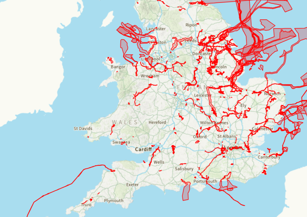
The Planning Inspectorate has launched a new interactive map showing the boundaries of current and forthcoming Development Consent Orders (DCO) projects. This should make it more straightforward to understand where nationally significant infrastructure might influence future development.
If you’re promoting residential, commercial or mixed-use land, it’s worth asking:
– Is your site within or close to a proposed DCO boundary?
– Could future infrastructure affect your planning strategy, programme or land value?
– Are there opportunities to align your development with major investment in the area?
Understanding these possibilities early on can help to identify potential constraints on development, reduce planning risk and uncover opportunities that might otherwise be missed.
At BTS, we’re already helping our clients to navigate the complex relationship between strategic infrastructure and development proposals. Whether you’re assessing a new site, reviewing a Local Plan allocation or progressing an existing scheme, it’s worth setting some time aside to understand how emerging DCO projects might affect your plans.
Explore the Planning Inspectorate’s interactive map here:
Could your site be affected by a nationally significant infrastructure project?
If you’re unsure, contact the BTS team to discuss how these proposals might influence your development strategy.